Punta Larici, ''high altitude'' trekking on Lake Garda
- Category What see Lake Garda and Verona
Surprising views and an adventurous excursion: the path to Punta Larici reachable from Garda by several paths, some for experts.
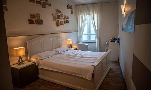
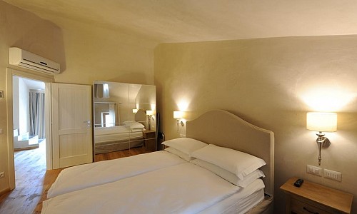
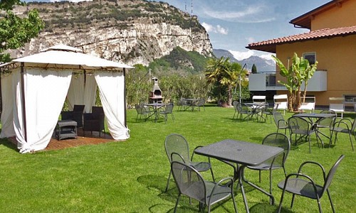
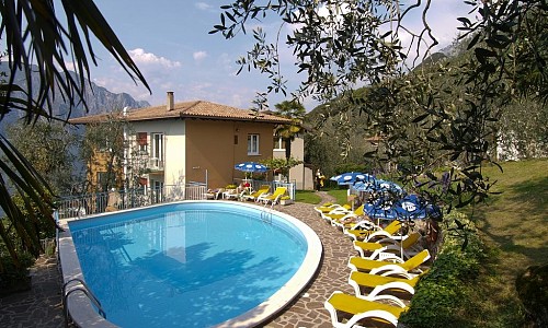
Number of views: 4956Agriturismo - Where to stay overnight
- Punta Larici, high altitude trekking on Lake Garda
- How to reach Punta Larici
- Length and duration of the trail to Punta Larici
- What to know before you go
Punta Larici, high altitude trekking on Lake Garda
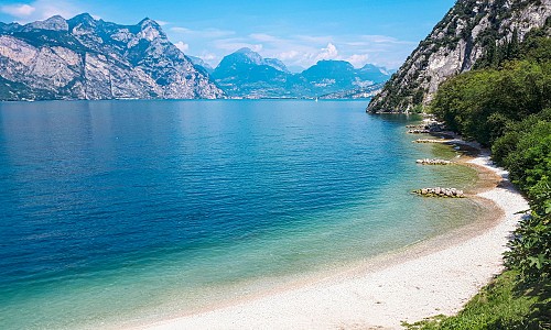
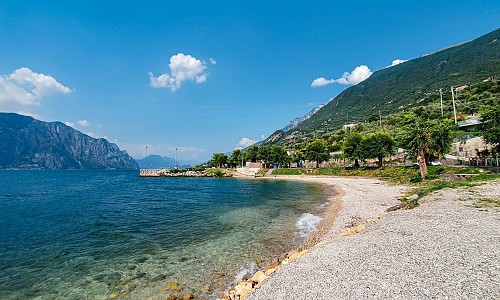
Punta Larici, is a rocky peak in the municipality of Riva del Garda (TN) which offers a splendid view over the vast Lake Garda , it can only be reached after an intense walk, sealing in the minds of hikers an indelible memory of this journey, thanks to its belvedere and the itinerary that precedes it.
The trekking route to Punta Larici does not present great difficulties, however it cannot be defined as an amateur itinerary (it is classified in any case for expert excursions among the mountain paths), so it is necessary to arm yourself with energy and motivation to reach the spectacular view.
The path winds along the rocky wall and some areas are exposed to height and gusts of wind, in some cases equipped with a metal cable for the safety of tourists passing through. Alternatively, the route that develops through the wood (the SAT 422B path) can be taken, which is much easier and safer, especially for those who fear heights.
How to reach Punta Larici
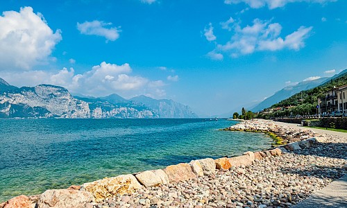
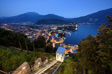
To reach Punta Larici you have to reach the starting village of the route: Pregasina. In any case, the town can be reached starting from Riva del Garda and continuing along the Sentiero del Ponale. Pregasina will find itself perched on a mountainous wall of the Alpi di Ledro, dominating Lake Garda from its elevated position.
The journey begins at the Church of San Giorgio which is located in Pregasina, at about 500 meters above sea level, and takes the forest road towards Malga Palaèr for about half an hour through a regenerating forest.
The next stage of the journey is located at the locality of Calcheròle, continuing along what is called Senter de la Costa which develops along the mountain.
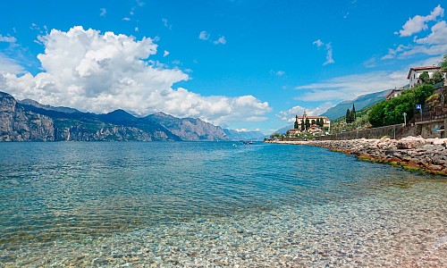
Proceeding with the route you will reach Punta Larici and you will reach the highest point located about 900 meters above sea level from which you can finally enjoy the scenery that includes Limone del Garda, Torbole, Riva del Garda, Monte Brione, Monte Altissimo and Monte Baldo opposite, glimpses of Malcesine and up to the tip of Sirmione sul Benaco. The show really leaves you breathless.
Ring route: the round of the Pregasina Crests
There is, however, a more articulated circuit, which develops forming a "ring" path on the Creste di Pregasina and Punta Larici, which can be reached, after Pregasina, Bocca da Lè. Then take path 430 and cross the peaks of Cima Bal and Cima della Nara.
In the woods you can decide to continue with the alternative route, or to deviate towards the more demanding mountaineering EE, which has climbing passages classified as grade I, obviously this deviation is not mandatory and you can therefore continue with the route.
You then reach Passo Guil and keep to the left, thus resuming path 422 towards Pregasina. At this point you can reach Passo Rocchetta and take the path of the Reamol Crests and reach Bocca Larici and then Punta Larici.
Then go down the path 422A and then, through Calcheròle, return to Pregasina.
Length and duration of the trail to Punta Larici
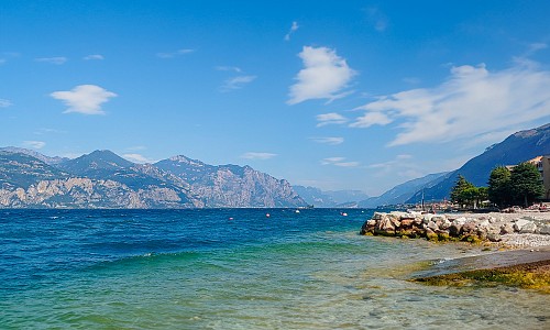
Starting from Riva del Garda, the path continues for about 9 kilometers (one way) and the travel time is about 4 hours. Alternatively, reaching Pregasina by car and continuing from there to Punta Larici, this takes about an hour and a quarter.
The recommended period to reach Punta Larici, extends from May to October, but it is equally important to keep in mind the practicability of the paths, as it varies according to the weather conditions and the state of the route.
The itinerary crosses the protected area of the Parco Naturale Dell'Alto Garda Bresciano, and consequently some rules must be respected and kept in mind during the excursions: stay on the path, do not feed the animals that meet, do not light fires, do not collect stones, plants or mushrooms and obviously leave no waste.
What to know before departure
This is not a simple walk, and good equipment and clothing is therefore strongly recommended adequate sportsman. Water and useful snacks for a full of energy, a light windbreaker and everything you need.
For those who choose the more difficult path, Punta Larici offers an intense journey, it is therefore advisable to have shoes suitable for the mountains and not too much weight between backpack and personal effects, as the steep paths require movement agile!